Monday, April 27, 2015

Kalbarri, WA.

While travelling North we had to pass through the town of Northampton, we stopped there for our lunch break. This town was, very recently, evacuated because of a major fire in a premises on the Main Street. The business was a hardware and fuel retailer and the fumes from the fire were highly toxic as well as the water 'run off' from the fire fighting effort. The smell from the burnt out premises was very evident during our visit several weeks later.

While our BT50 was parked near the Foreshore when visiting Geraldton, some person placed a Top Tourist Caravan Park brochure under our wiper blade. This offered a 4 day deal for the price of 3 and over the ANZAC Long Weekend here the deal was doubly attractive, so here we are!

The very first morning in Kalbarri required a 5:30 AM wake-up alarm so that we could attend the ANZAC Dawn Service. The attendance at the Dawn Service was very good with a wide range of "Ages" in attendance. The School Children made their own wreaths to lay at The Cenotaph which was a great personal contribution.

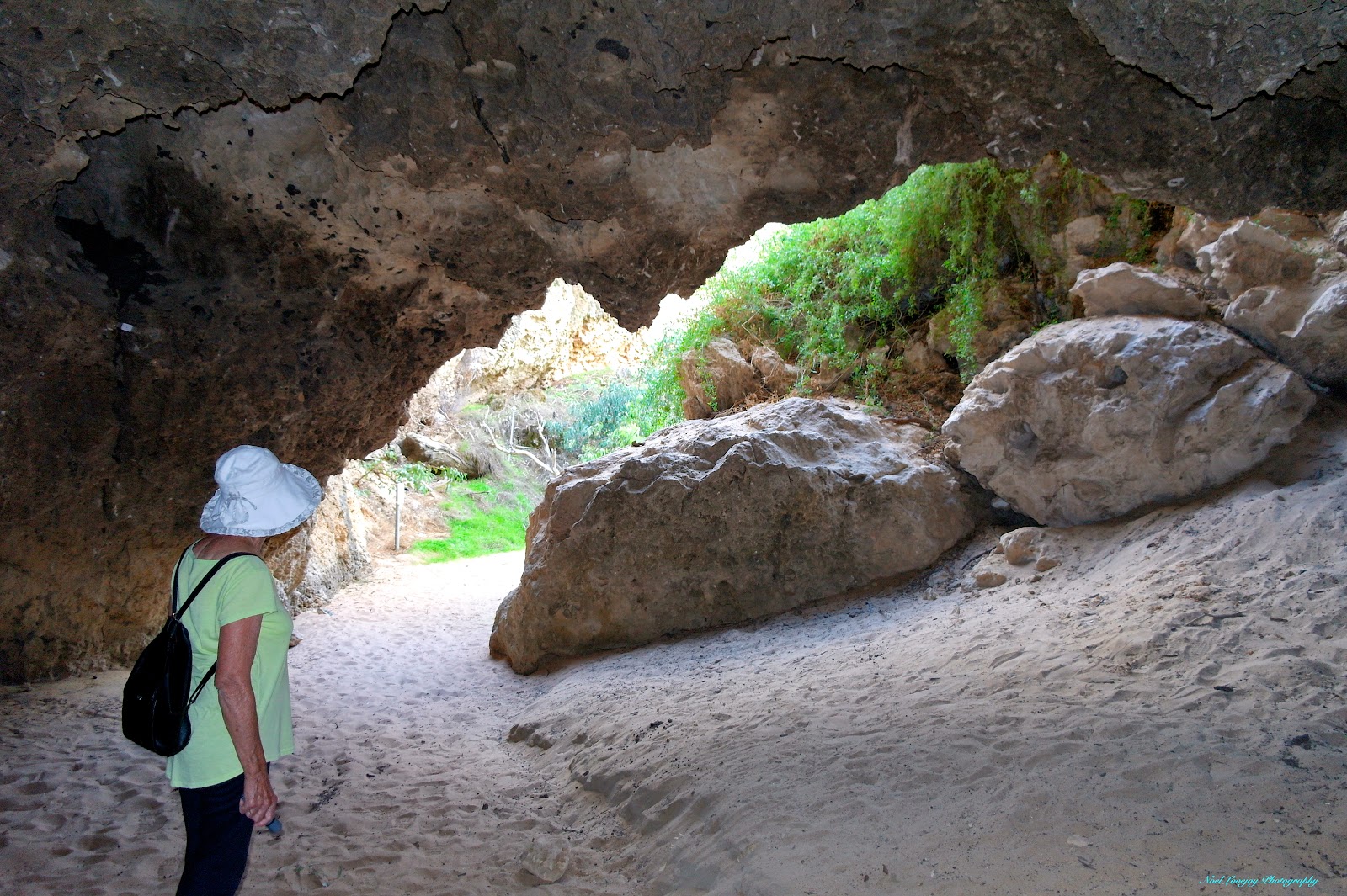
Later that day we visited Kalbarri National Park which borders the town area. The Gorge was formed by The Murchison River over many millennia. The walk trails are steep and rough but well worth the effort involved.

If you are a "Fisherperson" then Kalbarri is the place to come to. Maybe some other time for me.

The 'Burnt-Out' premises in Northampton. The smell emanating from the site was quite over powering.

People laying Wreaths at The Cenotaph during The ANZAC Dawn Service.

The Dawn Service is almost complete now and the day is brightening.

The view of Kalbarri and The Murchison Estuary from Meanarra Hill on the out skirts of town.

The mouth of The Murchison River from The Zuytdorp Memorial. The Zuytdorp was an early Dutch three masted Trading Vessel that foundered on the coast here in 1712.

The beautiful town of Kalbarri from The Zuytdorp Memorial.

Part of the lobster fleet in the marina.

Part of the rugged coastline South of Kalbarri.

Z Bend Gorge and The Murchison River in The Kalbarri National Park.

Notice the people far below on the River Bank at the bottom of the photograph. We were soon to be down there!

Part way down and time for a 'breather'.

We made it! Only need to get back up again!

"Natures Window" in another part of The Kalbarri National Park. All the climbing in the NP is over quite rough terrain and care is required to prevent injury.

There are Warning Signs everywhere advising against getting into places like this but that doesn't apply to me!

At the Tudor Caravan Park, where we are staying, they have a Pet Long Billed Corella named Fredrika. She talks very clearly and is quite friendly, particularly if you have some fruit to feed her.

Wednesday, April 22, 2015

Geraldton, WA.

With our short "hops" Northward we are now enjoying warmer weather, day and night. We are extremely pleased about that! We made a stop at the free RV Camp in the town of Dongara and returned the favour by doing some essential shopping in town. I managed to wash the car and caravan while camped in the RV camp, it was really required badly.

While emptying our toilet cassette in the morning we renewed acquaintances with Kevin and Jacqui, whom we had first met at Kojonup several weeks ago. We met again at Seven Mile Beach and then we both moved onto Geraldton for a couple of days. It was good to sit around and swap travel and 'life' stories with each other.

We have enjoyed our stay in Geraldton, it is a vibrant community of about 46,000 people and provides most of the necessary services. We have been informed that it is wise to do any necessary shopping here as prices escalate greatly as one travels further North.

I have the BT50 booked at Pedders in Geraldton for a 'suspension upgrade'. I am having "Air Bags" fitted to beef up the rear suspension a little. I must be loading the vehicle a little too much with all our necessary gear. We will be leaving here on Friday morning heading for Kalbarri.

Our very clean car and caravan in the free RV Camp in Dongara.

Sunset at Seven Mile Beach with a Lobster Boat in the foreground.

Part of the Main Street in Geraldton.

More of the Main Street.

The Courthouse complex at Geraldton.

The HMAS Sydney Memorial in Geraldton. It is stated that there are 647 Seagulls making up the Dome, representing all the lives lost with the sinking of The Sydney.

The centre Cairn is in the shape of a ship's propeller and all the names of the 647 lost members of the crew are displayed on the Black Granite wall in the background.

"The Waiting Women". This Bronze Statue symbolises a Wartime Wife looking for the return of her missing Family.

Who said it was 'windy' here in WA? Well this backs up their story! Just 20 km South of Geraldton, this is one of the River Gum Trees in the paddocks along the way.

This is an all metal Lighthouse. It was fabricated in the UK and shipped to Australia and installed here.

There is a great Foreshore Development in Geraldton. This is part of that development, Emu Eggs as depicted by the Indigenous Community.

Sunday, April 19, 2015

Dandaragan Shire, WA.

Some of the Shires that we travel through genuinely seek to accommodate the RV traveller, Dandaragan is one of those progressive Shires. All the RV travellers that we spoke to were very thankful for the services and camping areas provided by this Shire. The other Shires should have a 'good look' at themselves and discover what they are missing out on. Cervantes, Jurien Bay, Sandy Cape and Green Head are all in The Shire of Dandaragan. As is The Stockyard Gully Cave. This cave is a natural water course that has carved a wide tunnel through the limestone rock for a distance of 250 metres. Of course once you make the first bend in the cave darkness reins supreme. A good strong torch light is essential for this walk. Many years ago this water course and cave was used as a 'short cut' by stockman droving cattle from the North enroute to the Perth Markets.

The pristine beach at Jurien Bay. The ocean water is very clean along the West Coast because of the lack of rivers that transport silt from the land.

The Dandaragan Shire Offices in Jurien Bay. One wonders where the money comes from to construct these palaces.

This photograph taken from Sandy Cape looking North towards the terrific camp ground.

Sandy Cape looking South.

Green Head, also known as '3 Bays'. This small centre bay is flanked by two larger bays.

Looking North from Green Head.

Walking along the dry creek bed to Stockyard Gully Cave.

At the up stream creek entrance to the cave.

The down stream opening to the cave.

Entering the down stream end of the cave for our return journey.

Good torch light is essential otherwise you might bump into obstacles like this one in the total darkness of the cave. You can see the water level when the creek is running.

Made it through for the second time.

Native bee hives on the chasm wall very near to the cave entrance.

Friday, April 17, 2015

Nambung Station, WA.

We had completed the 2 hour tour of New Norcia and while having lunch before driving on to our next destination. I noticed that all the South bound traffic was extensively covered in mud. It was my guess that there were extensive road works to the North, so we chose another route and stayed clean, well, for a while anyway!

We reached Moora and stayed in their wonderful, free RV camp in the centre of town. This is directly opposite their IGA Supermarket and Celebrations Liquor Store. We shopped extensively at each of these businesses and also had a new tyre fitted to the caravan at the local Hankook Franchise. The town did OK out of our visit just by providing a free overnight stay. Great thinking I would say!

It was only a short drive to Cervantes and then South to Numbung Station, where we planned to stay for a few days. It was only when we got to Numbung Station that we learned that we could access Nambung National Park through the back boundary fence of this property. Brian, the Station Owner, escorted us and a family, that was staying in The Bed and Breakfast area of the Station, to the unofficial entrance into the National Park. This is the very same National Park that is accessed from Cervantes to the North but with many more Limestone Pinnacles here than are viewable from the Cervantes entry. The Sand Dunes move 10 or more metres per year. This means that some Pinnacles are covered with sand and others become exposed. If you came back here every couple of years the view would be totally different.

The sand around these Limestone Pinnacles has been deeply scoured to reveal quite large stone formations.

Another outcrop.

Climb over another dune and more Pinnacles come into view.

Keep walking and the more Pinnacles that you will discover. Must remember your line of travel though for your return trek. It all appears the same out here!

On the crest of a Sand Ridge with more sand in the background.

Jude atop a Sand Ridge with a vivid blue sky backdrop.

Still another formation of Pinnacles.

Not sure whether these Pinnacles are going under or being exposed!

The Amenities and Camp Kitchen at Numbung Station.

Two of the four campers in residence while we were there.

The Fire Pit, consisting of a loop of old 'dozer tracks, circled with a high fence to keep the chill winds at bay.

Some future steaks from Nambung Station.