Friday, July 31, 2015

Victoria Highway, NT.

Our primary objective on this trip was to explore as much of Western Australia as we could. We achieved this goal except for isolated incursions of inclement weather, floods or bush fires. Therefore, with our achievements behind us, it was now time to cross the State Border in Northern Territory. Although we were reluctant to leave the balmy Kimberley winter weather behind us.

After crossing the State Border, we very soon discovered several things, the road surface deteriorated markedly. Road Engineers in Northern Territory cannot, it seems, match road and bridge surfaces seamlessly. We were constantly and severely jolted into our seats as we entered and departed bridges. And there are many of them! The second issue is lack of mobile phone coverage and the third issue is Rest Area standards have dropped off dramatically. Where there are decent facilities they are poorly maintained.  Full to capacity Drop Toilets and over flowing rubbish bins leaves a dismal impression. Representatives from the other States should visit Western Australia and experience the high standard maintained there and set about matching it in their own domains. All it would take is a redirection of funds from their "precious" cities expenditure.

With the number of people travelling the highways, the tourist dollar value spent in small communities must be significant. Multiplying our own spending amount by the 10's of thousands of highway travellers and the amount must be staggering.

Apart from that, we pulled into Mathison Rest Area, on the Victoria Highway, only 95 km out of Katherine, and joined into a 3 hour "Happy Hour". A chance meeting by a group of like minded individuals. Yes, dinner was late, but who is worried! Not us!

Once in Katherine we stayed 3 nights at Shady Lane Caravan Park. This park is outstanding. It is very quiet, clean and shady. The management is unobtrusive but friendly and helpful when needed. We recommend travellers stay here at this park.


A high ridge alongside Saddle Creek RA, we were witness to a noisy rockfall during the afternoon. We are only a few 100 metres away.

Early morning at Saddle Creek taking in the ridge on the far side of the Victoria Highway.

Alongside the Victoria River, freshly baled hay.

The Victoria River.

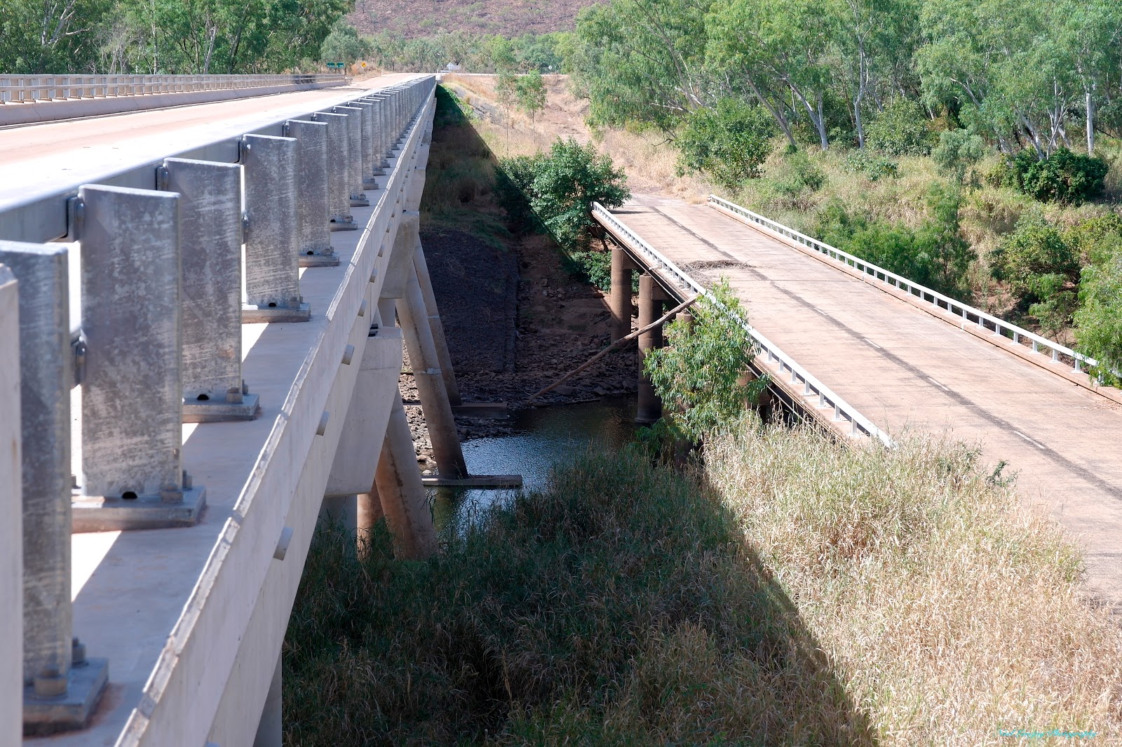
The new bridge and the old over The Victoria River.

The Victoria River Roadhouse. No hot takeaway food available here, a traveller must order and wait. Even then, pies remain frozen inside. Be out of business very soon!

The Victoria River Roadhouse Caravan Park looks fairly good though.

Early morning at Mathieson Rest Area. What a glorious welcome to the day.

Tuesday, July 28, 2015

Flying The East Kimberley, WA.

We weren't idle while staying in Kununurra. We also decided to take an air tour, with Kingfisher Tours, over many of the locations we experienced on land and also some that we have yet to visit.

Tomorrow morning we will be leaving Kununurra and Western Australia heading into Northern Territory and on to Katherine.

The spillway for Lake Argyle is a natural creek system that returns the overflow back into The Ord downstream of the wall.

Lake Argyle and the dam wall.

There are many islands formed in Lake Argyle and are known to be ideal breeding habitat for The Johnson Crocodile. Estimated population of 35000.

Bungle Bungle Range from the air.

Beehive structures of the Bungle Bungle Range.

Piccaninny Gorge at The Bungle Bungle Range.

The Western Escarpment of The Bungle Bungle Range.

Another view of The Western Escarpment of The Bungle Bungle Range.

An overview of The Argyle Diamond Mine.

The Open Pit of The Argyle Diamond Mine. The mine now descends below the pit floor as an underground operation.

The extremely high priced El Questro Station Stay. Not much there to see!

The Gibb River Road with The Cockburn Range in the background.

This range was used as some of the setting in the Film 'Australia'.

Home Valley, another super expensive resort station stay.

The King River flood plain and tidal flats approaching Wyndham.

Wyndham from the air.

The Wyndham Port area and to the right side 5 Rivers Lookout.

Ivanhoe Crossing just outside of Kununurra. This river crossing is no longer maintained by the local council.

Irrigation branch channels and the beginning of farmed land.

This is part of the 30,000 hectares of irrigated land in Stage 1 of the Ord Scheme. another 15,000 hectares is being released in Stage 2.

The Ord River beside irrigated farms.

The Diversion Dam as we approach the airport.

Inside the plane mid flight. I am the fill in co-pilot today.

Jude outside our plane for the day.

Our Pilot, Bunzel, I think that was his name, in the process of tying down the plane.

The Ord River, WA.

While based in Kununurra we took in a Launch Tour of The Ord River system. The river banks are varied and interesting to pass through. The tour takes in the Ord River, upstream of The Diversion Dam to the base of the Lake Argyle Dam Wall, a distance of about 55 km. This stretch of water is also known as Lake Kununurra.

These riverside farms are too small in area to be viable enterprises but are keenly sought out as 'Lifestyle Blocks'.

On one of these riverside blocks a Brolga was sighted.

The main Ord Irrigation Area water is gravity fed but for The Ord #2 Irrigation Area the water needs to be lifted from the lake by these four screw pumps.

 
The Tour passes through several Gorge sections as you travel upstream.

We have a riverside lunch stop.

The river narrows as we travel further upstream and in some sections is very narrow. The final 15 km the water flow is quite rapid as the river drops 10 m over the distance.

We approach the Lake Argyle Dam Wall and the end of our river journey.

The Hydro Power Station supplies electricity to The East Kimberley towns of Kununurra and Wyndham.

This is the vessel that we travelled the river in. We vacated the vessel at this point and a Coach Load of new passengers boards for the downstream journey.

We board the Coach here for the return trip to Kununurra.

Part of Lake Argyle from the top of the dam wall.

Looking down from the dam wall to the river. The tour boat has cast off and will soon head downstream.

On our return journey we pull into The Historic Durack Homestead.

Beautiful lawns surround the homestead.

The homestead has verandas right around and all rooms have their own exits to the veranda.

The Headstones of all The Durack Family have been bought here although the actual graves remain as they were.

Kununurra, WA.

We enjoyed more of The East Kimberley winter temperatures at Kununurra. Staying for five nights before we leave Western Australia after more than eight months touring the State. We stayed at Kimberleyland Caravan Park and while there I was able to repair two leaky water pipes. It seems strange how these leaks manifest themselves after travelling for over twelve months with no issues!

Looking across Lake Kununurra to the Sleeping Buddha, as viewed from our Caravan Park.

Friendly Johnson Crocodiles come up to the lake edge looking for a 'hand out'.

Rare Gouldian Finches in The Kimberleyland CP Aviary.

There are also Double Barred Finches. I've also seen these in the wild.

Downstream side of The Ord River Irrigation Scheme Diversion Dam. The retained water forms Lake Kununurra.

Initially water was pumped into the Main Irrigation Channel through this Pump House. The pumps are still housed there but the building is now The Pump House Restaurant.

Three delivery pipes from under the Pump House.

The three pipes shown above exit into the cage structure in the foreground and the gravity fed water from Lake Kununurra is flowing past in the background.