Thursday, May 28, 2015

Karijini National Park, WA.

We booked into Dales Gorge Camp Ground for 7 nights with the intention of completing every Gorge Walk in Karijini NP. We had just set up camp and it started to rain. Not too heavy but enough to prevent walking without protective gear. In a short break in the weather we were walking the Camp Ground Loops and discovered that Gary and Dee were also camping at Dales. Naturally we caught up with all the latest news over a couple of beers.

The next morning was overcast but not raining. We decided to take in The Dales Gorge Rim Walk and as it eventuated, that was the final activity we were able partake in, as the rain started in earnest from that point on. We went to the Camp Hosts for a weather report and it was all bad news. We lasted out five nights of our booking and then departed as our batteries were reading a very low voltage.

Water wasn't an issue in the caravan as we were harvesting water off the awning and pumping it into our tanks. It was only the state of our batteries that forced us out. That and the day time temperature of 13 deg. We also thought it wise to leave early as the Hosts might increase our nightly tariff as we now have a 'Lake Side' Camp site! There were only 23 Camp Sites occupied in the entire Camp Ground that now consisted of Red Mud and Water.

We were very disappointed in having to leave this wonderful National Park but the weather conditions were too bad to explore the Park in all it's glory. We will have to come back another time, another year!

Circular Pool in Dales Gorge.

Did you notice the White Barked Snappy Gum clinging to the wall of Dales Gore in the previous photo.

White Barked Snappy Gums grow in many strange shapes. Not one of them is straight trunked.

The River winding it's way through Dales Gorge.

Unusual rock formations are everywhere.

Fortescue Falls at the beginning of Dales Gorge.

Pilbara Region, WA.

As we travel further North and East we are finding that we need to drive longer distances between places of interest. We were heading for the Rio Tinto Iron Ore Mine towns of Paraburdoo and Tom Price. Along the way we camped at two excellent free camps. The first at Barradale River Crossing and the second at Beasley River Crossing. Both of these Rest Areas have toilets and Dump Points. We have met some wonderful people at these stops, some we will maintain contact with.

We heard on the "traveller grapevine" that the Caravan Park at Tom Price was both expensive and had sub standard facilities. We accepted this advice and based ourselves at Paraburdoo Caravan Park. At $25 per night for a powered site including free clothes washing machines and dryers. I was also able to wash the car and caravan.

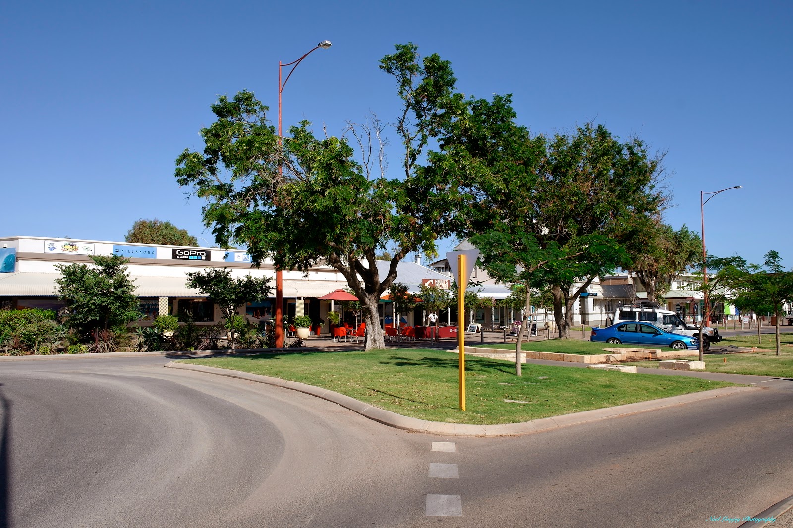
Both Tom Price and Paraburdoo are well laid out 'Mine Towns' with excellent facilities. We were told that Rio Tinto sold the town of Tom Price to Ashburton Shire for the sum of $1.

Our stop over here in the Iron Ore Mining Area was mainly geared to taking in the Tom Price Mine Tour. This was very informative and took us up close to the Haul Road with 250 tonne capacity Haul Trucks roaring by. Their V16 diesel engines do belt out a roar as they consume 20 lt of fuel per km on the steep inclines. We spent two hours on the tour, partially because there was a Mine Lockdown caused by a "May Day Call' on the radio. We were not sure of the cause but there was an interruption in the flow of Haul Truck movements. Baz, our tour guide, thought that maybe there was some mechanical failure. The incident was unsighted by us but would have occurred on a narrow section of roadway so would have blocked all movements.

The Ashburton River from the old highway bridge.

You may notice, by looking at the wet rocks and mud, that the river level has recently been a lot higher.

The old single lane bridge beside the new two lane bridge. This old bridge is 800 yards in length and 15 ft wide.

The Nanutarra Road House is located on the North side of The  Ashburton River.

The Beasley River looking upstream.

The Beasley River looking downstream.

This Mechanical Shovel was retired several years ago. We never got to see what is in use today as it was at the bottom of the Pit.

One of the continual stream of Haul Trucks.

Looking into the Pit from the Observation Point. We were told that this Mine Pit will cease operation in about five years, another Pit has been started nearby to continue operations.

The point where I am standing to take this photograph was once the same elevation as this Range.

Jude and I at the Tome Price Mine Lookout.

Ore coming from the Crusher onto a Stockpile before heading to the Washer.

This is an Ore Stacker that creates a long mound of Crushed and Washed Ore.

The Bucket Wheel Train Loader, pictured here, is actually controlled from an office in Perth.

Friday, May 15, 2015

Exmouth and Cape Range NP, WA.

We booked into Exmouth Cape Caravan Park for two nights to enable us to tour the town highlights and also to prepare for our 3 night stop-over in the Osprey Campground of Cape Range National Park. Exmouth is the gateway to this NP and it's several camp grounds. Osprey is the newest of these campgrounds but we didn't know that fact until we arrived there. Osprey campground has only been in operation for a little over 3 weeks. Every aspect is sparkling new!

Ningaloo Reef is visible from inside our caravan and also from under our awning, as it is from every site in the campground. The Indian Ocean Breakers and the Reef are an amazing sight as are the nightly sunsets. This is paradise, it can't get any better than this.

I have been a little remiss in not reporting some significant information in my last few blog posts. We had reached the most Westerly point of the Continent accessible by sealed road. Point Quobba is that point at Longitude 113 - 24 - 56. Other points of note and just short of Point Quobba are Carnarvon Jetty at 113 - 37 - 47, Coral Bay Boat Ramp at 113 - 46 - 02 and Osprey Campground, Cape Range NP at 113 - 50 - 17.

We returned to Exmouth Cape CP for one night to catch up with the clothes washing chores, restock the larder and the fuel supply. Tomorrow morning will see us travelling inland to Tom Price and Karijini National Park.

The Vlamingh Head Lighthouse was constructed in 1911 following the the grounding of SS Mildura on this Head prior to 1907. Remnants of this vessel are still visible today. The steel structure is the base of a WW11 Radar Tower, the sand bags around the base have been in position since the 1940's.

Looking from the Lighthouse back towards the Harold Holt Communications Base. The centre mast of the 13 in the array is taller than the Sydney Tower.

The bay at Osprey Campground.

Not at all sure what this plant is, but they are prevalent in the area and about the only thing with any colour.

Looking back over Osprey Campground.

Following a cloudy sunset the sky took on this red glow.

....and then finished of with a golden cloud display.

We took a Boat Cruise in the Yardie Creek Gorge. One of the sights was this braided root system. It never reaches the salty water of the gorge but captures the humidity from the water.

Yardie Creek Gorge is home to the Rock Wallaby and this terrain is there home.

This huge boulder has been assessed by Engineers as being safe for the next Century!

Because of the two cyclones in this area during the previous 8 weeks Yardie Creek has been running to the sea. The Sand Bar is just beginning to reform and may close off the creek for up to 3 years.

Following our Boat Cruise we took to the trails and walked the edge of Yardie Gorge.

Since crossing The Tropic of Capricorn just South of Coral Bay we have been seeing many Termite Mounds. The mounds of this 'cluster' are not the largest we have seen but the mound in the foreground is near 180 cm in height.

Saturday, May 9, 2015

Coral Bay, WA.

En route to Exmouth we made a one night stop over at Minilya River RA. The following day we  called into Coral Bay on the off chance that there maybe a vacancy in either of the two Caravan Parks. Free camping is frowned upon by Exmouth Shire so our cash expenditure in the region will be minimal. We got into Peoples Park Caravan Park in an unpowered site at $47 per night. It is Beach Front so the view is exceptional. We treated ourselves to two nights here. Some regular visitors come here each year for three months or more, I don't know what they do to fill in their time, there is nothing here except a very picturesque bay inside Ningaloo Reef. Fishing is not allowed inside the Reef.

Minilya River RA, some of last night's campers have already departed. As the region has experienced two Cyclone Events in the past 8 weeks the river has plenty of water and the surrounding country side is lush green with new growth.

Coral Bay Foreshore.

Ningaloo Resort is to the right of picture, our Caravan Park is in the treed area to the left of the Resort.

From the sand dune lookout you can just make out the Reef in the distance.

A cloudless Sunset over Ningaloo Reef. At this time of day all we could hear was the roar of the surf on Ningaloo Reef.

Maybe because we are in Ningaloo Marine Park, this colourful guy felt secure sitting on a rock at the water's edge.


Thursday, May 7, 2015

Carnarvon, WA.

I fully realise that Carnarvon experienced a Cyclone barely 8 weeks, ago and there is ample evidence remaining of this fact, but still, I am totally underwhelmed by this town. Carnarvon is arguably on a par with the most disorganised and untidiest towns I have ever visited. Carnarvon doesn't offer much to the tourist at all.

Now that I've got that off my chest, The Wintersun CP was an excellent place to stay in the town and all the Traders we spoke to were very helpful. I had a slight relapse of my back complaint from a few weeks ago and Shelley gave me, at a price, an hour long Hot Rock Deep Tissue Massage that almost made me a permanent cripple the following day but after that I am feeling the benefit of the "work out" and feel totally fit to drive once more.

Three days was enough for us here, it's time to move on. We are heading towards Cape Range National Park and had to forward book on-line to gain access. We don't normally like to commit ourselves like this but in this instance we had no other option. But we have a couple more stops before we reach that point.

This is probably one of the better aspects of the Carnarvon CBD.

The Gemini and Apollo Space Programs Museum detailing Carnarvon's role in the programs is very interesting, we spent some time in there. Donned our Space Suits for the experience.

Just about to board The Apollo Space Capsule for a Blast Off into Orbit. Jude came aboard as well. It's OK we were able to parachute back to Earth.

The Antenna that was in use at Carnarvon before the Space Program began in earnest. This was replaced by purpose systems bought over from the USA. All of those antenna systems have been removed now.

The Space Museum is located beside The OTC Dish Antenna but this apparatus had no involvement with the Space Program.

The coast line North of Carnarvon is home to Treacherous Quobba Blowholes.

The wind was blowing "Offshore" today so the swell and the display was quite tame.

As evidence that the action can be far more spectacular, the rough rocky coastline has dried seawater pools, such as this one, at least 50 metres back from the coast edge.

Tuesday, May 5, 2015

Shark Bay Shire, WA.

Shark Bay Shire is another of those Shires that welcomes the RV Traveller and provides great facilities for them. We, the traveller, on the other hand, stop, camp and spend money in the region. This exchange works well for both parties.

Our usual daily drive is seldom in excess of 150 km and today is no exception. The distance to Galena Bridge RA was only about 140 km. Galena Bridge is on the North West Coastal Highway and crosses the Murchison River, the same river that passes through Kalbarri National Park further downstream from this point. There is excellent and extensive free camping on both sides of the river here, even including "Dump Points". It is unfortunate about the bush fly plague though. Ever since Cyclone Olwyn, that inflicted major damage in the region, passed through the area, the flies have been breeding in profusion. It is OK outside of your caravan after about 6:30 PM though as the flies mysteriously disappear.

The next day we moved on a further 70 km to Nerren Nerren and stayed at another excellent free RA. This one being a very large sealed area alongside the Highway. Several campers that were with us at Galena Bridge are here tonight as well.

Cyclone Quang, pronounced kwong, was threatening to the North therefore we stopped in at Hamelin Station instead of driving the further 100 km onto Denham. We thought this was a better situation to be in if we had to make a hasty retreat back South. As it eventuated the effects of this cyclone were limited to area around the 'landfall'. We experienced zero wind and zero rainfall at Hamelin Station.

The Station is located about 28 km from North West Coastal Highway along Shark Bay Road and only 1 km in to the right. The Managers at the Station are friendly and the facilities are excellent. We extended our stay at Hamelin Station because of the uncertainty of the path of Cyclone Quang that was threatening Coral Bay and Exmouth. In lieu of towing the caravan to Denham we decided to make our base at Hamelin Station and toured around from there.

Monkey Mia is very much "over rated" and with 4 Rangers in the Office doing 'not much else' but joking and laughing, the place is waste of resources. needless to say, we did not see any Dolphins. During our return drive to Denham we came across a couple of Pommy "Whizz-bangers" bogged to the axles in soft sand on the verge of the road. We had the gear to extract them and soon had them on their way again. 

Denham is a 'laid-back' sea side village beside a beautiful, clean and blue watered bay. The very busy boat ramp indicates great fishing grounds are in the area. We also visited Eagle Bluff for the possible sighting of Sharks, Rays, Turtles and Dugongs, although none were in evidence for us today. We also called into Shell Beach where we did see some shells!

Now, a short report on the "Air Bags". Having driven several hundred kilometres now, since I had the rear suspension air bags fitted, I can only express my complete satisfaction with the result. Towing the caravan is now 'tighter' and more steady on the road, especially during windy conditions, and one thing there is plenty of over here is wind! Driving is now less stressful, and I pull up fresher at the end of the day.

Camped alongside The Murchison River at Galena Bridge.

The old low-level crossing alongside the newer elevated Galena Bridge. As it is, flood waters reach as high as 1 metre from the tops of the pylons on the bridge.

The vast, sealed RA at Nerren Nerren.

The Reception and Camp Kitchen at Hamelin Station.

Up graded Shearers Quarters at Hamelin Station.

The excellent amenities at Hamelin Station.

We didn't see any Dolphins at Monkey Mia but we did see three Pelicans posing for photographs on the beach.

Extracting 2 Pommies and their 'whizz-bang' from soft sand alongside Monkey Mia Road.

Government Offices in the Main Street of Denham.

The foreshore park and the beautiful blue waters of the Indian Ocean.

Eagle Bluff with zero marine life in sight today. The black material in the water is what the Dugongs graze on.

Small Cockle Shells abound on Shell Beach.

Shell Beach actually extends for 110 km, that is correct, 110 km.

As you can see in the above photograph there is Commercial extraction of these Cockle Shells and the material is carted away by the truck full but these Environmental Knuckleheads tells us not to remove any shell material as it will upset the balance of Nature.